

Surveying
Digital terrain and surface models, volume calculations, orthophotos and 3D visualisations, georeferenced with our Emlid RS4 Pro.
Surveying with LiDAR and photogrammetry
The basis for everything that follows. Capturing and analysing surfaces is what we do best.
Modern drone systems autonomously scan many thousands of square metres, achieving georeferenced accuracy of up to 0.5 cm horizontally and 2 cm vertically.
Digital terrain and surface models
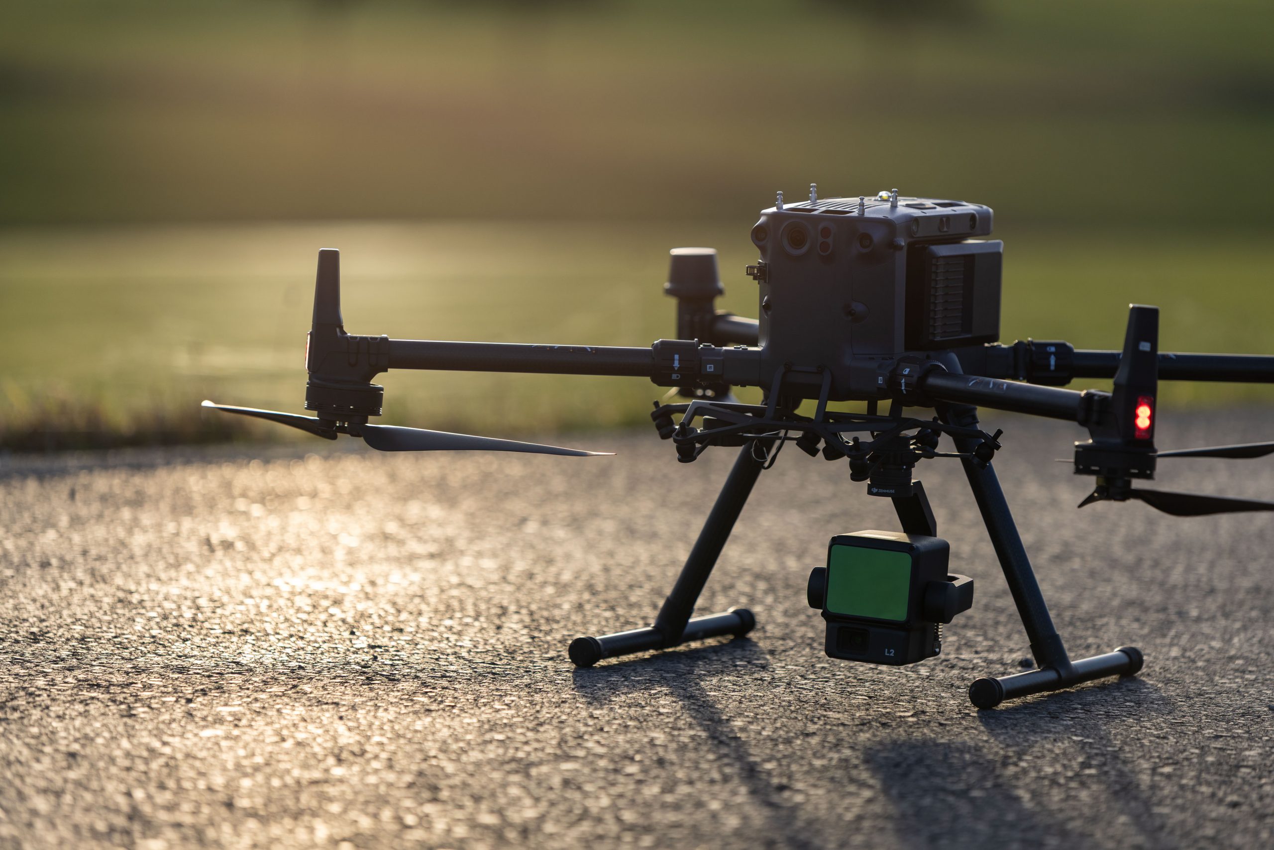
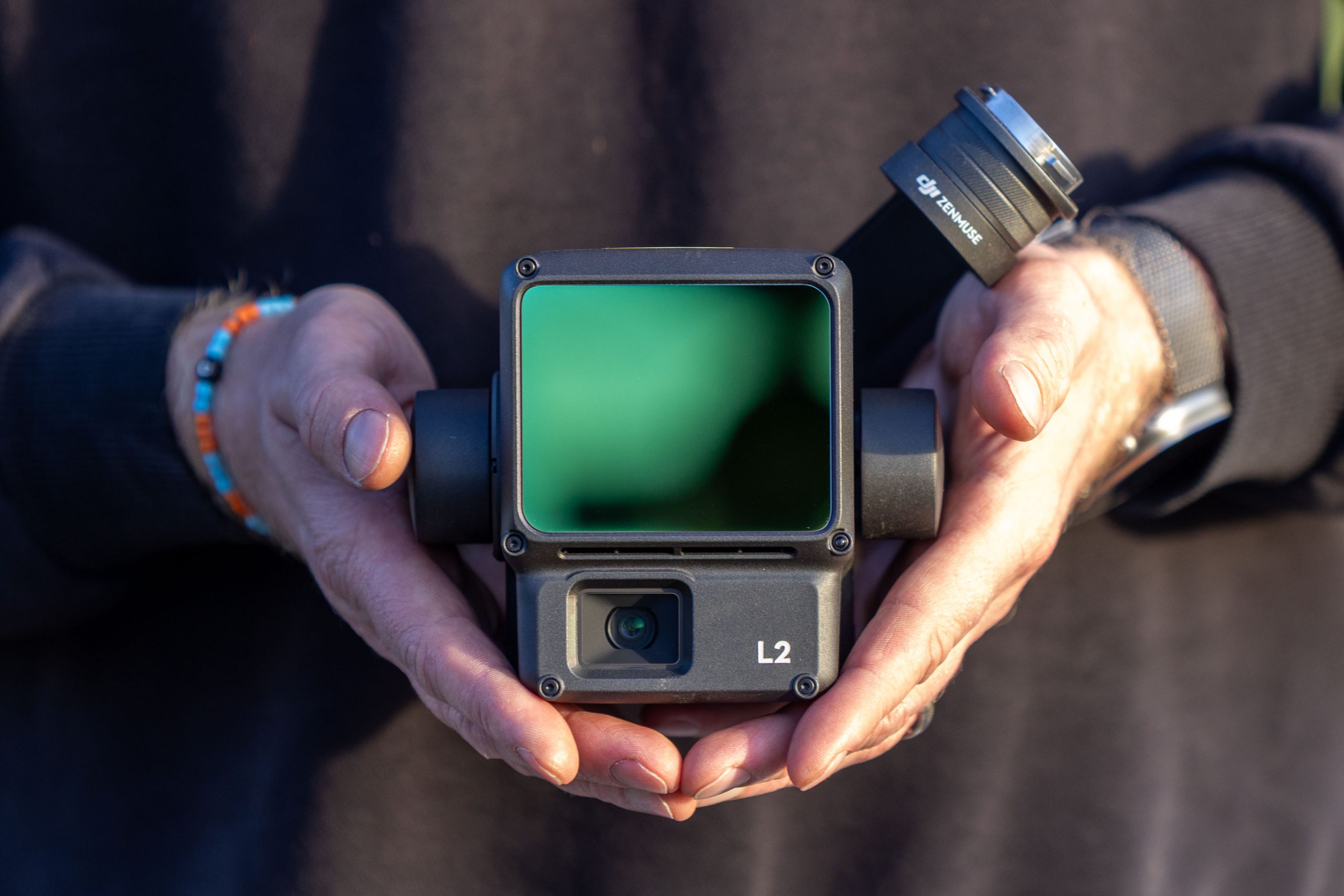
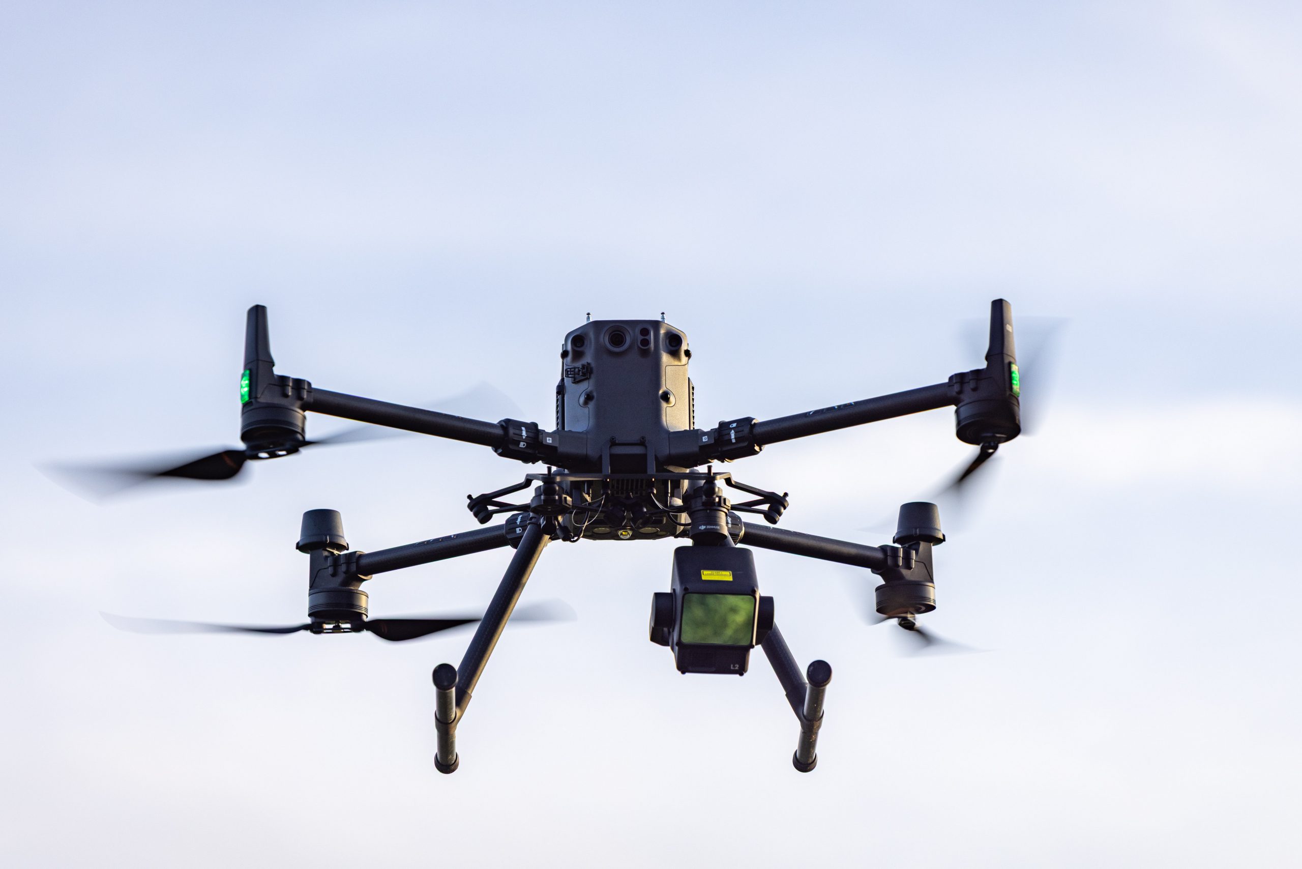
Three-dimensional LiDAR scans capture terrain, vegetation and infrastructure precisely. With the DJI L2 and L3 sensors we reach even complex and inaccessible areas efficiently from the air.
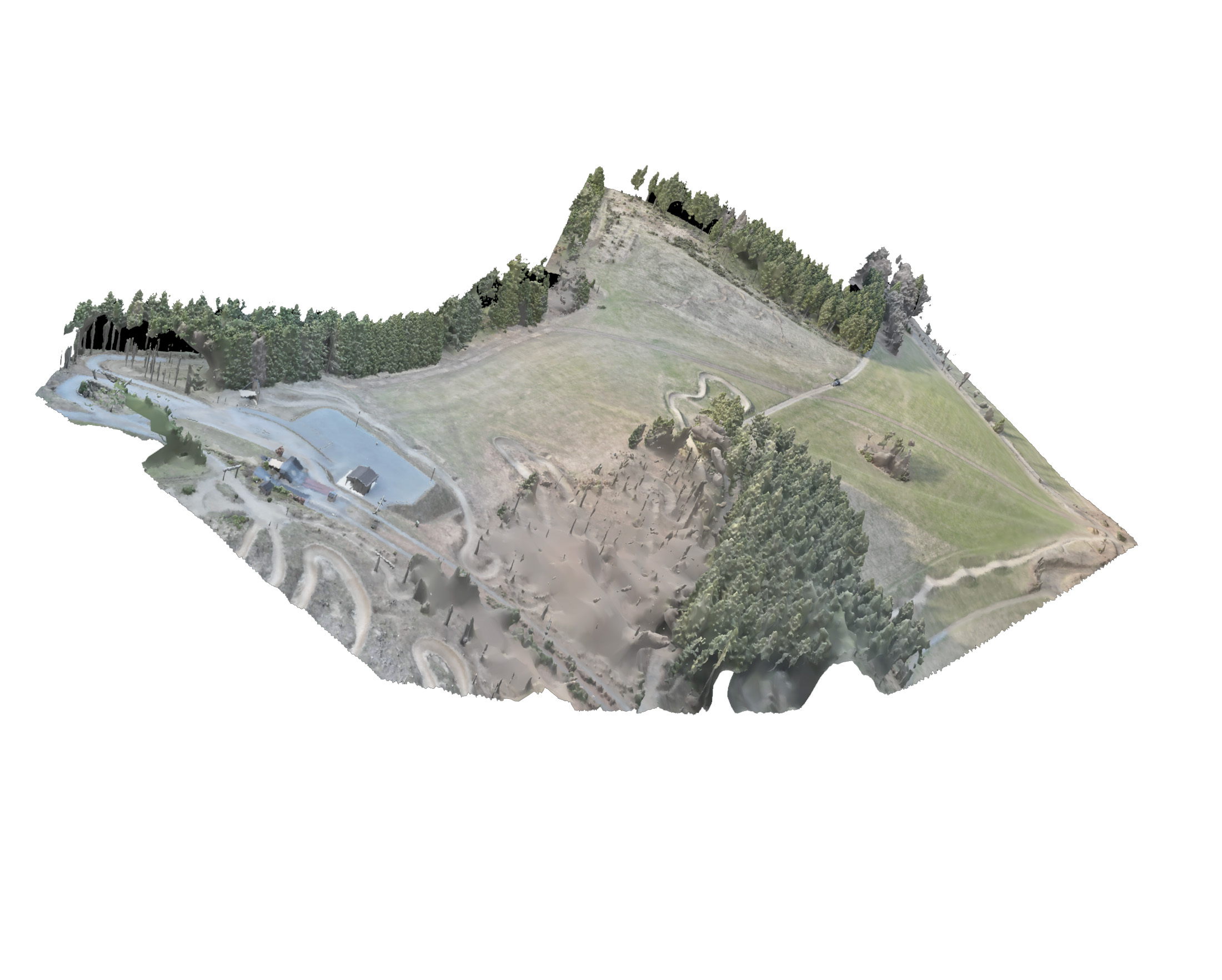
From the point clouds we produce digital terrain models (DTM) and digital surface models (DSM): a detailed, georeferenced basis for surveying, planning, elevation analysis, volume calculation and digital as-built documentation.
Typical applications
- Construction and infrastructure planning
- Road and route planning
- Terrain and as-built surveying
- Wind farm and open-space planning
- Forestry and vegetation analysis
- Landfills and open-cast mining
- Earthworks and volume calculations
- Flood and terrain analysis
- Documentation of sites and construction progress
- 3D modelling of terrain and structures
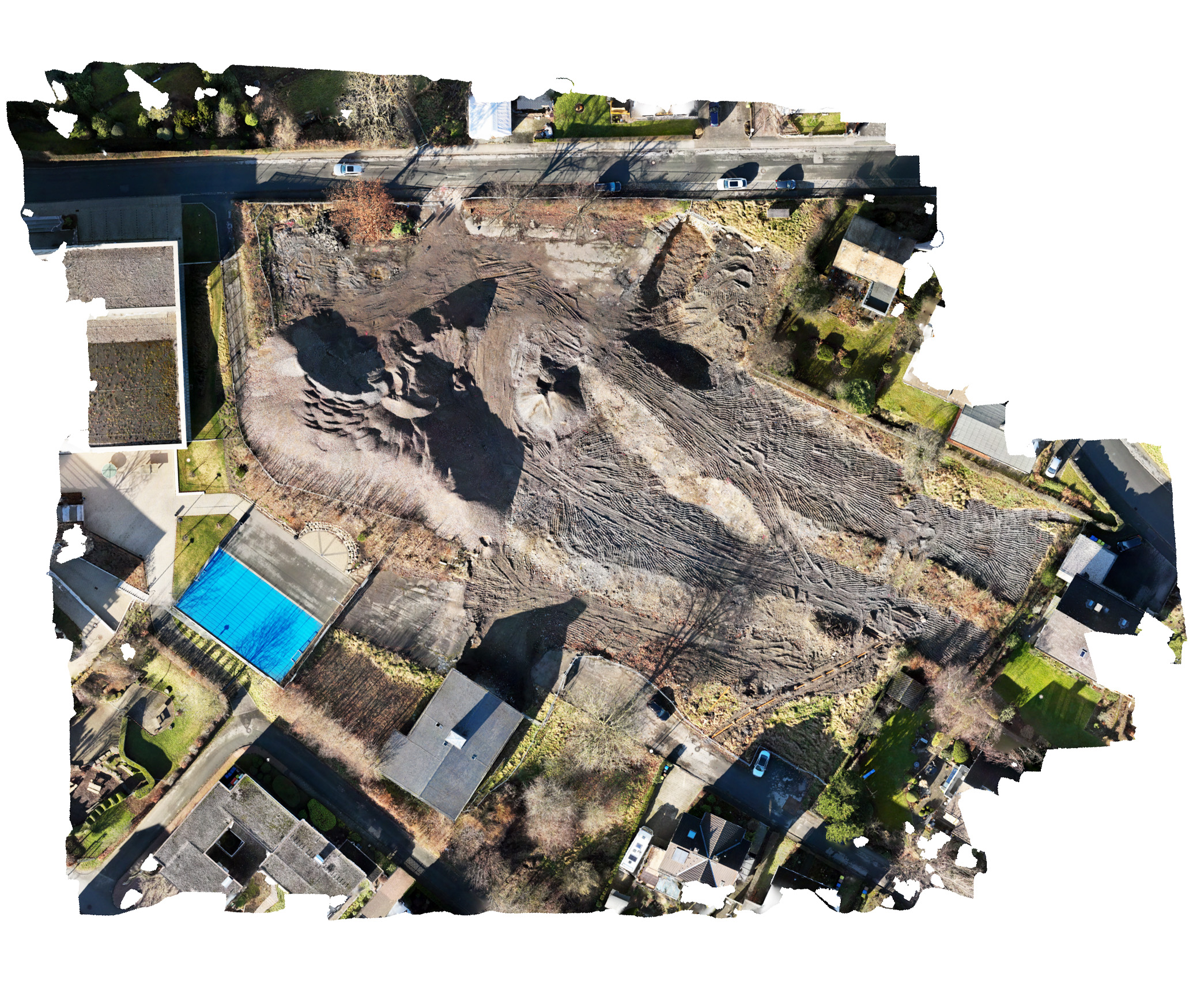
Orthophotos
High-resolution orthomosaics from the air. Using modern drones and high-resolution cameras, we create precise orthophotos for planning, documentation and surveying. Several aerial images become rectified, true-to-scale, georeferenced image data that depicts areas, structures and infrastructure in detail.
Orthophotos are a fast and efficient basis for as-built surveys, planning processes, construction progress reports and further georeferenced analysis.



Request a drone survey
Whether road construction, renewable energy planning or an as-built survey of a site: get in touch.